West Stewartstown, NH 03597 Air Quality
As of 4:19 PMAir quality index16Good
Air quality is great — a good day to be outside.
Next 24 hours
US AQIAir quality outlook
Worst hour each day- Today16Good
- Thu 2222Good
- Fri 2322Good
- Sat 2424Good
- Sun 2536Good
From our air-quality forecast models (GEOS-CF / GEFS aerosols). AQI uses the US EPA scale.
Air quality map
Open full mapAbout ZIP code 03597
ZIP code 03597 is West Stewartstown, in Coos County, New Hampshire. This forecast is for the centre of the ZIP area at 44.745°, -71.381°. Right now it’s 57° and haze; today’s high is 59° with a 0% chance of rain.
Nearby ZIP codes
More New Hampshire cities
Latest weather news
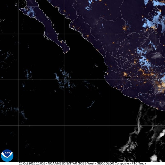
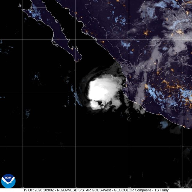
All news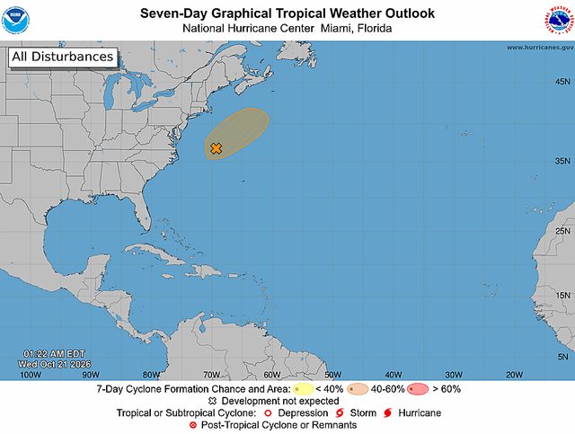
Explore the live map
Open map
Live radarRain and storms right now
SatelliteClouds from space
Temperature14-day GFS outlook
Lightning threatShort-range storm model
WindSpeed and direction
Air qualitySmoke and pollution
Open the live map
Popular cities
Weather by state
AlabamaAlaskaArizonaArkansasCaliforniaColoradoConnecticutDelawareDistrict of ColumbiaFloridaGeorgiaHawaiiIdahoIllinoisIndianaIowaKansasKentuckyLouisianaMaineMarylandMassachusettsMichiganMinnesotaMississippiMissouriMontanaNebraskaNevadaNew HampshireNew JerseyNew MexicoNew YorkNorth CarolinaNorth DakotaOhioOklahomaOregonPennsylvaniaRhode IslandSouth CarolinaSouth DakotaTennesseeTexasUtahVermontVirginiaWashingtonWest VirginiaWisconsinWyoming
Take WeatherScope with youAI alerts · Live radar · Apple Watch · Widgets
Get the app

