
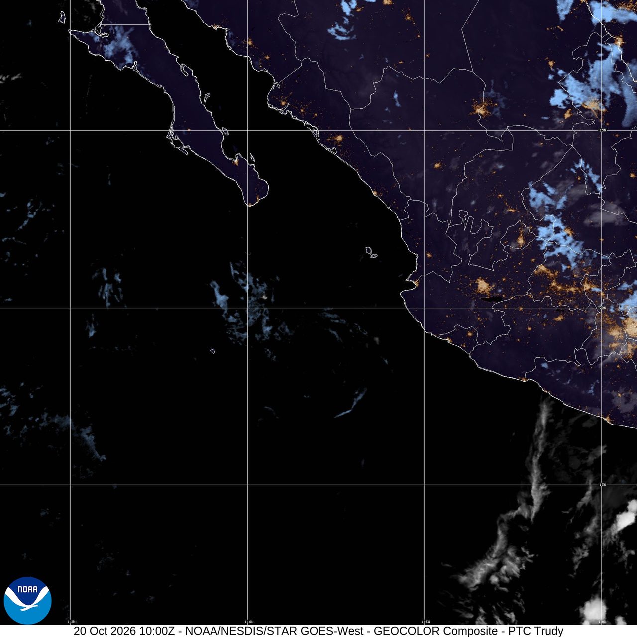
Trudy becomes a remnant low as Mid-Atlantic coastal flooding threat continues: Weather briefing for October 19, 2026
Post-Tropical Cyclone Trudy weakened well offshore of west-central Mexico on Monday night, while the U.S. weather pattern centered on hazardous coastal conditions along the Mid-Atlantic coast and a strong storm system approaching southern Alaska. In the western Pacific, Guam and the Northern Mariana Islands remained in recovery mode after Super Typhoon Champi moved away.
Past 24 Hours
Guam and the Commonwealth of the Northern Mariana Islands remained in recovery mode after Super Typhoon Champi moved away from the Marianas. As of Tuesday evening ChST, the NWS Guam office said there were no active tropical cyclone watches, warnings or advisories for Guam and the Marianas Islands.
Local bulletins in Guam had dropped tropical cyclone warnings as cleanup continued after the storm passed west of the islands.
What's Happening Now
Post-Tropical Cyclone Trudy was centered near 19.5N 108.0W at 8:00 p.m. MST Monday, about 160 miles west-southwest of Cabo Corrientes, Mexico. The National Hurricane Center said Trudy had weakened to 35 mph with a minimum central pressure of 1005 mb and was drifting north at 2 mph. There were no coastal watches or warnings in effect, and the final public advisory said hazards affecting land were none.
Along the U.S. East Coast, the National Weather Service said a nor'easter would keep hazardous marine and coastal conditions in place along the Mid-Atlantic coast through midweek, with significant coastal flooding and beach erosion possible from southern New Jersey through the North Carolina coast.
For the rest of the contiguous U.S., the Storm Prediction Center said no severe thunderstorms are forecast today and tonight, and its Day 1 fire weather outlook showed no critical fire weather areas forecast.
Outlook Through Tonight
Trudy has become a remnant low, and the National Hurricane Center said its Monday night advisory was the final public advisory on the system.
The Mid-Atlantic coastal flood threat will continue through tonight as onshore flow and rough surf persist. Beach erosion, overwash in the most exposed spots and flooding in low-lying coastal areas remain the main concerns into the overnight hours.
Looking ahead, the Weather Prediction Center said excessive rainfall threats will return to parts of the Southwest and Four Corners beginning Wednesday, including slight risk areas in central and southern California and from southern Utah and Colorado into much of Arizona and New Mexico.

