Michoacan Weather Radar
As of 12:25 AMLive radar
Open full mapRight now across Michoacan
15° to 15° 15°
15°
Hurricane Trudy
533 km W of Morelia · moving NW at 9 mph
- Max wind
- 161 km/h
- Pressure
- 976 mb
- Updated
- 12:00 AM CST Sun Oct 18
Michoacan climate
Michoacan spans from the Pacific coast to the central highlands, producing climate zones ranging from tropical at sea level to temperate at the capital Morelia's elevation of 1,920 meters. Morelia enjoys spring-like weather year-round with average temperatures of 18°C and abundant sunshine during the dry season.
The Sierra Madre del Sur and the Transvolcanic Belt create orographic rainfall that supports the state's diverse forests, including the famous oyamel fir forests where monarch butterflies overwinter. The Tierra Caliente lowlands along the Balsas River basin are among the hottest areas in Mexico, regularly exceeding 40°C in spring.
The rainy season from June through October brings 700-1,000mm of precipitation to the highlands and even more to the mountains. The Pacific coast around Lazaro Cardenas is vulnerable to tropical cyclones, while the highland areas experience frequent lightning storms and occasional damaging hail during summer months.
Nearby states
Weather briefing
All posts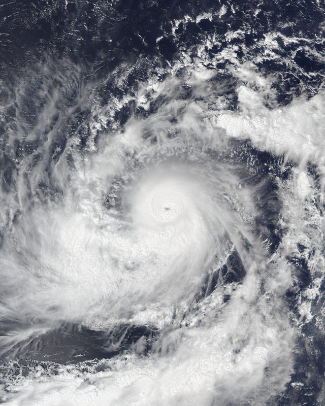


Explore the live map
Open mapPopular cities


