
Global Weather Outlook for October 15, 2026

Severe flooding in Istanbul, a strengthening eastern Pacific hurricane approaching Mexico, and worsening drought conditions in parts of England were among the clearest weather developments over the past 24 hours. In the United States, attention remained focused on heavy rain and scattered severe thunderstorms from the southern Plains into the Ohio Valley, along with wildfire smoke concerns in multiple states.
Past 24 Hours
Heavy rain caused major disruption in Istanbul over the past day, with multiple reports describing flooded roads and underpasses across the city. Because casualty counts varied across available coverage and were not confirmed through an official source in the material reviewed, this update avoids publishing a number. The event still ranked as the top observed impact because of clear urban disruption in a densely populated metro area and multiple independent reports of severe flooding.
In England, drought conditions intensified further. The Environment Agency’s latest national and area reporting, together with widely reported government and utility updates, showed serious water-supply stress in parts of southern England. The Guardian reported that six areas had moved into severe drought, with some reservoir levels critically low, including Ardingly at 19% and Wimbleball at 16%.

Wildfire activity in the United States remained elevated even as national preparedness dropped to Level 1. The National Interagency Fire Center said firefighters were working on 12 large fires across the country as of Thursday morning, with more than 320,000 acres burning in active incidents. AirNow also carried a system alert for wildfire smoke affecting multiple states.
What’s Happening Now
Hurricane Trudy was the most significant active tropical hazard in the eastern Pacific on Thursday. The National Hurricane Center said at 8 a.m. EDT that Trudy was forecast to rapidly intensify and approach the coast of southwestern and west-central Mexico this weekend. NHC listed maximum sustained winds of 75 mph in its latest advisory available during this review, placing Trudy at hurricane strength.

Elsewhere in the basin, Tropical Storm Simon remained near Baja California Sur, and the broader eastern Pacific remained active. Although Trudy had not yet produced the kind of verified land impact that would outrank Istanbul’s flooding in this report, it remained one of the most urgent ongoing threats because official forecasts pointed to strengthening and a growing coastal risk in Mexico.
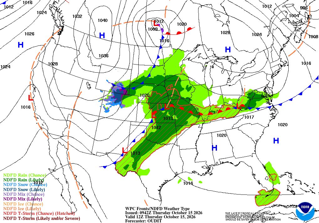
Across the United States, the National Weather Service homepage highlighted showers and thunderstorms from the southern Plains into the Ohio Valley, while the Storm Prediction Center said isolated severe wind gusts and perhaps a tornado or two were possible in parts of the mid-Mississippi and Ohio valleys. The Weather Prediction Center’s Day 1 Excessive Rainfall Outlook also showed a broad flash-flood threat footprint, with a moderate-risk area included in its national outlook.
Outlook Through Tonight
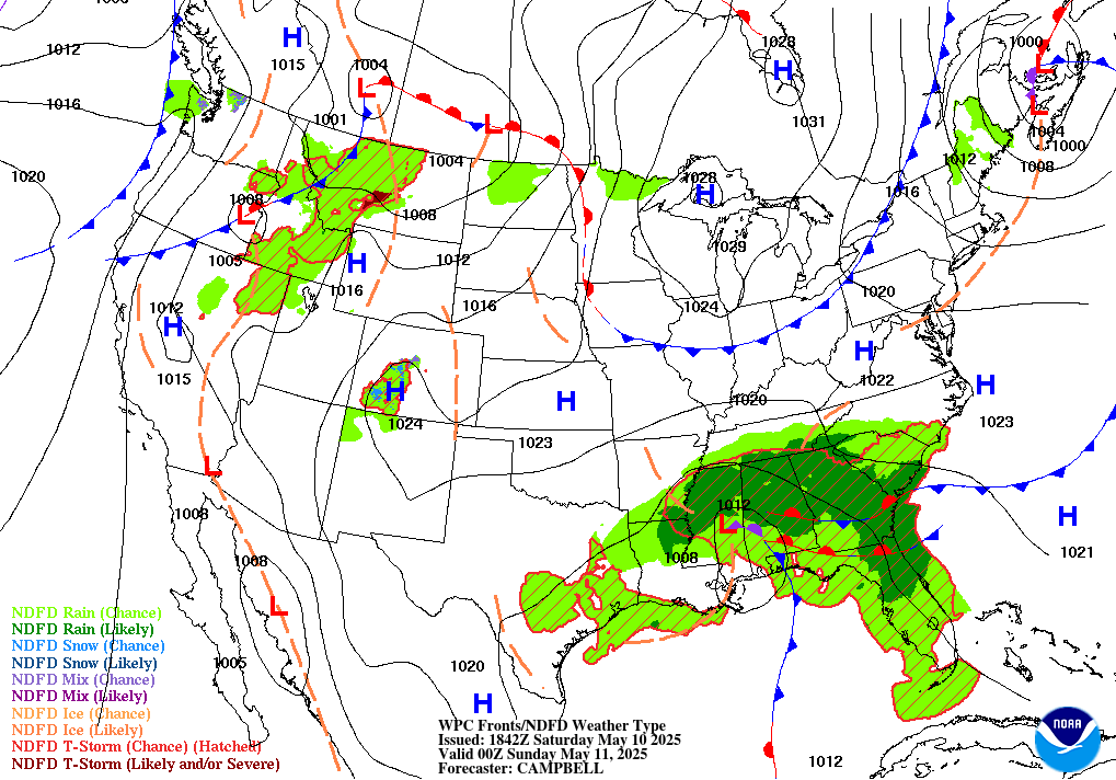
Through 11:59 p.m. ET, the main U.S. weather concern remains the corridor from the southern Plains into the Ohio Valley, where thunderstorms may produce locally damaging wind and isolated tornadoes, while heavy rain raises flash-flood concerns. WPC’s outlook also indicates a meaningful rainfall footprint extending across a large section of the central and eastern United States.
In Mexico’s eastern Pacific waters, Trudy is expected to continue strengthening while drawing close enough to the coast to warrant close monitoring for wind, surf and rainfall impacts. NHC said interests along the coast of southwestern and west-central Mexico should closely monitor the storm’s progress.
In England, drought impacts will not ease tonight even without a sudden weather trigger. The key short-term story remains strained reservoirs, heightened monitoring, and pressure on water systems in the hardest-hit southern areas.
Other global hazards were reviewed, including ongoing drought alerts flagged by GDACS and international agency pages, but the events above had the clearest verified weather significance within the past 24 hours using the sources available at publication time.



