Virginia Weather Radar
As of 2:45 AMLive radar
Open full mapRadar stations in Virginia (VA)
4 stationsOpen a single VA Doppler radar station for a closer look than the national mosaic — the sharpest detail is near each station.
Right now across Virginia
36° to 60°-
Richmond Capital
 46°
Clear · feels 42°
-
Virginia Beach
 55°
Mostly cloudy · feels 49°
-
Norfolk
 56°
Mostly clear · feels 51°
-
Chesapeake
56°
Mostly clear · feels 50°
-
Arlington
39°
Clear · feels 36°
-
Newport News
55°
Mostly clear · feels 54°
-
Alexandria
43°
Clear · feels 41°
-
East Hampton
60°
Mostly clear · feels 56°
-
Roanoke
39°
Clear · feels 36°
-
Portsmouth Heights
56°
Mostly clear · feels 50°
-
Suffolk
50°
Mostly clear · feels 49°
-
Lynchburg
36°
Clear · feels 32°
Virginia city radar
Virginia climate
Virginia's climate transitions from humid subtropical in the east to continental in the western mountains, with the Blue Ridge Mountains and Shenandoah Valley creating distinct climate zones. Richmond, in the central Piedmont, has hot, humid summers and cool winters with occasional snow. The Tidewater region along the Chesapeake Bay and Atlantic coast is moderated by water, with milder winters and slightly cooler summers.
Virginia is vulnerable to a wide range of weather hazards, including tropical systems that move up the coast, severe thunderstorms in the Piedmont and Shenandoah Valley, and winter storms that can produce heavy snow in the mountains and ice in the valleys. Hurricane Camille in 1969 caused catastrophic flooding in Nelson County after dropping 27 inches of rain in just 8 hours on the Blue Ridge, killing 153 people.
The western mountains receive heavy snowfall, with some areas averaging 60 to 80 inches per season, while coastal Virginia Beach sees less than 10 inches. Spring and fall are generally pleasant and are considered the most agreeable seasons across most of the state. The Shenandoah Valley is known for temperature inversions that can trap cold air during winter nights, producing frost even when surrounding areas stay above freezing.
Nearby states
Weather briefing
All posts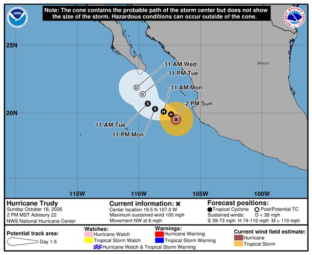
Explore the live map
Open mapPopular cities