Wyoming Weather Radar
As of 12:45 AMLive radar
Open full mapRadar stations in Wyoming (WY)
2 stationsOpen a single WY Doppler radar station for a closer look than the national mosaic — the sharpest detail is near each station.
Right now across Wyoming
33° to 47° 43°
 47°
 47°
 33°
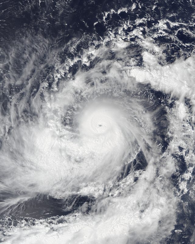
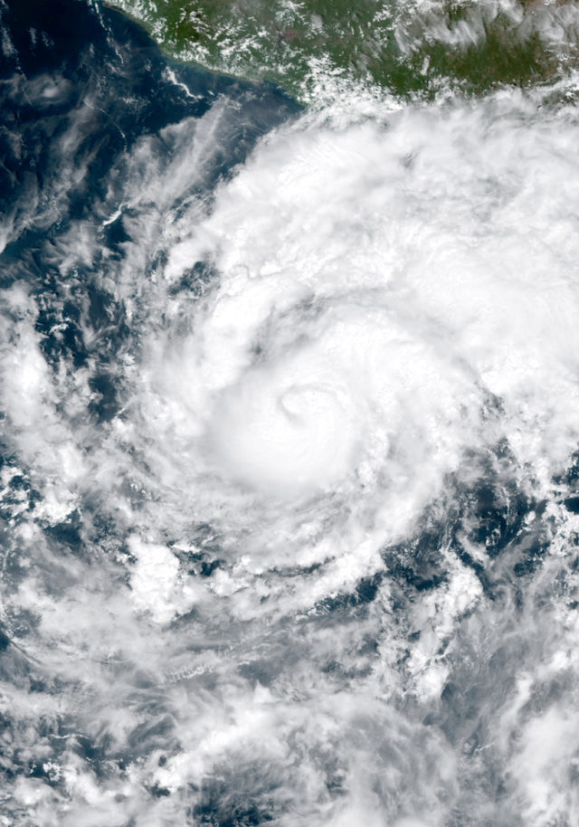
Hurricane Trudy
1490 mi S of Cheyenne · moving NW at 7 mph
- Max wind
- 80 mph
- Pressure
- 984 mb
- Updated
- 8:00 PM MST Sun Oct 18
Wyoming climate
Wyoming has a semi-arid continental climate characterized by cold winters, moderate summers, and persistent wind. The state is one of the windiest in the nation, with Cheyenne and the high plains regularly experiencing sustained winds above 30 mph and gusts exceeding 60 mph. Its high average elevation of 6,700 feet contributes to cooler temperatures, lower humidity, and more intense UV radiation than states at similar latitudes.
The mountain ranges of western Wyoming, including the Tetons and the Wind River Range, receive enormous snowfall totals that feed the headwaters of major river systems including the Snake, Green, and Yellowstone Rivers. Jackson Hole averages over 400 inches of snow per season at upper elevations. Yellowstone National Park, in the state's northwest corner, has its own distinct climate with geothermal features that create localized warm areas even in the depths of winter.
Wyoming's eastern plains experience severe thunderstorms and occasional tornadoes during summer, though tornado frequency is much lower than in neighboring states to the south and east. Ground blizzards, caused by strong winds lifting fallen snow from the vast open terrain, are a major winter hazard that can close highways for days. Despite the challenging climate, Wyoming enjoys abundant sunshine and some of the clearest, darkest night skies in the continental United States.
Nearby states
Weather briefing
All posts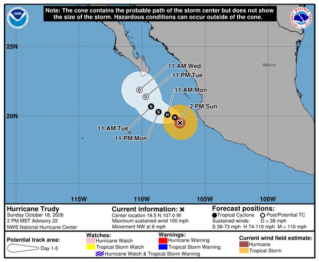
Explore the live map
Open mapPopular cities