
Southwest flooding lingers as severe weather targets Plains and Cyclone Murasu nears India
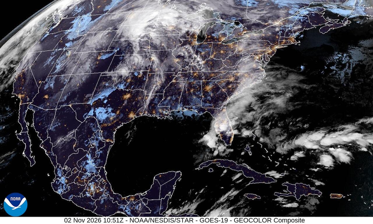
Flooding from the weekend storm is still causing problems in the Southwest. Rivers are running high in eastern Arizona and northwestern New Mexico, and flash flooding hit Florida's Space Coast before dawn Monday.
Past 24 Hours
Water was already in homes and near bridges along the Gila River around Solomon, Safford and Thatcher in eastern Arizona early Monday. The National Weather Service flood warning said the river had reached 25.3 feet by 3:30 a.m. MST, and forecasters said several homes and businesses, mostly on the north sides of those towns, were flooding and some bridges could be overtopped.
Farther east, floodwater was still rising along the San Juan River at Shiprock in northwestern New Mexico. The National Weather Service flood warning said the river was at 15.2 feet at 3 a.m. MST and was forecast to crest near 20.2 feet this afternoon, bringing significant impacts from Shiprock toward the Four Corners.
In Florida, thunderstorms dumped 6 to 8 inches of rain in southern Brevard County before sunrise Monday, prompting flash flood warnings from the National Weather Service in Melbourne. The warning said life threatening flooding was possible in southern Brevard County.
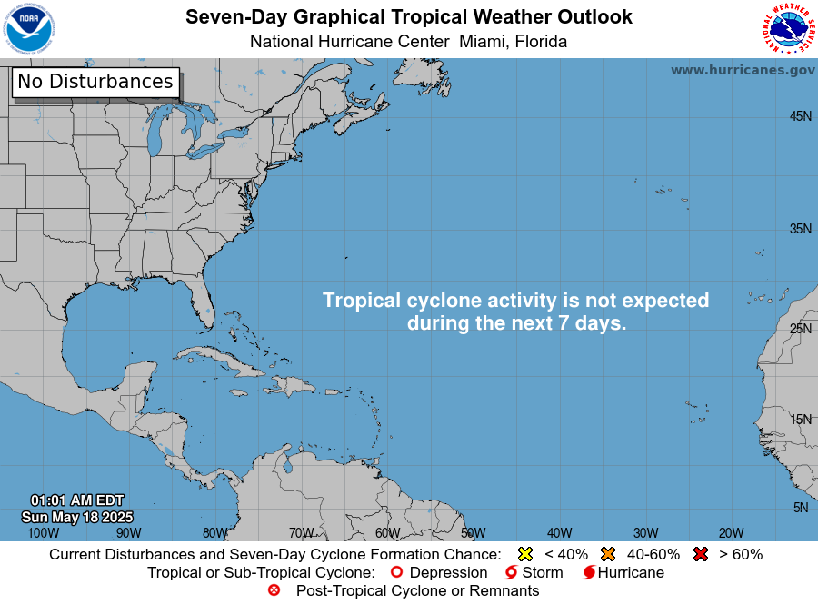
No tropical cyclones were active in the Atlantic or the eastern and central Pacific on Monday, and no development is expected in the Atlantic over the next seven days, the National Hurricane Center said.
What's Happening Now
Flood warnings remain widespread across the Southwest. In northwestern New Mexico, a flood warning remains in effect for the San Juan River in San Juan County through Tuesday evening. In Rio Arriba County, flood warnings also remain in effect along the Rio Chama and Rio Ojo Caliente.
Along Florida's east coast, heavy rain is expected to continue across southern and eastern Florida through Monday, the National Weather Service said, with isolated flash flooding possible. Active alerts early Monday included flash flood warnings in Brevard County and coastal flood advisories in the Keys.
North of the flood zone, a winter storm warning remains in effect for the eastern San Juan Mountains above 10,000 feet in Colorado through 11 a.m. MST Monday. The National Weather Service said 12 to 18 inches of snow were expected, with travel becoming very difficult to impossible.
On Guam and in the Northern Mariana Islands, high surf advisories and rip current statements remain in effect, according to the National Weather Service in Tiyan. The Guam office said there were no active tropical cyclones in the western North Pacific.
Outlook Through Tonight
Severe thunderstorms are expected to develop in parts of the southern and central Plains and the lower Missouri Valley this afternoon and tonight. The Storm Prediction Center day 1 outlook says the area is under a slight risk, with damaging wind gusts and a few tornadoes possible.
Strong winds will keep blowing in the mountains of southern New Mexico. The National Weather Service high wind warning says west winds of 30 to 40 mph with gusts up to 65 mph could blow down trees and power lines in the Sacramento Mountains through 4 p.m. MST.
Over the Bay of Bengal, the India Meteorological Department said Severe Cyclonic Storm Murasu was about 160 kilometers east-southeast of Nellore at 8:30 a.m. IST Monday. The storm is forecast to cross the south Andhra Pradesh coast between Nellore and Narsapur from around midnight into the early hours of Tuesday with winds of 100 to 110 kph, gusting to 120 kph. The agency also warned of a storm surge of about 1.5 to 2 meters in low lying parts of south coastal Andhra Pradesh near landfall.
No tropical cyclone development is expected in the Atlantic basin over the next seven days, the National Hurricane Center said.