Kansas Weather Radar
As of 1:45 AMLive radar
Open full mapRadar stations in Kansas (KS)
4 stationsOpen a single KS Doppler radar station for a closer look than the national mosaic — the sharpest detail is near each station.
Right now across Kansas
43° to 52°-
Topeka Capital
 43°
Mostly clear · feels 41°
-
Wichita
52°
Mostly clear · feels 48°
-
Overland Park
 48°
Clear · feels 46°
-
Kansas City
49°
Clear · feels 47°
-
Olathe
48°
Clear · feels 45°
-
Lawrence
45°
Mostly clear · feels 44°
-
Shawnee
48°
Clear · feels 46°
-
Manhattan
48°
Mostly clear · feels 46°
-
Lenexa
47°
Clear · feels 46°
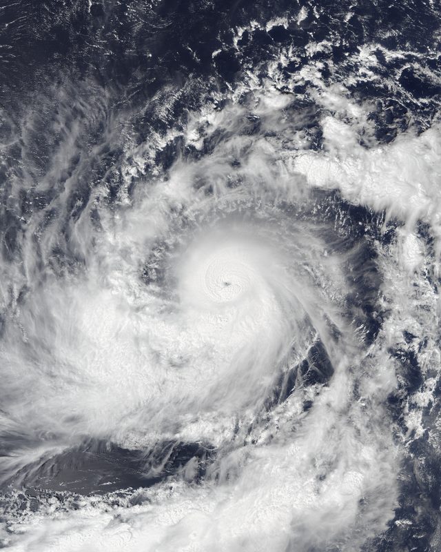
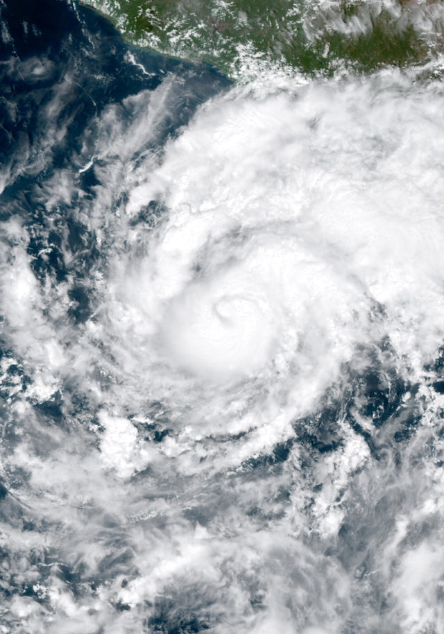
Hurricane Trudy
1514 mi SW of Topeka · moving NW at 7 mph
- Max wind
- 80 mph
- Pressure
- 984 mb
- Updated
- 8:00 PM MST Sun Oct 18
Kansas climate
Kansas has a continental climate with extremes of temperature and a strong east-to-west precipitation gradient. Western Kansas is semi-arid, receiving around 16 inches of rain per year, while eastern Kansas receives nearly 40 inches. The state's flat terrain and central location make it a battleground for competing air masses, producing some of the most dramatic weather in the country.
Kansas is at the heart of Tornado Alley and averages roughly 80 tornadoes per year, making it one of the most tornado-prone states in the nation. Supercell thunderstorms producing violent tornadoes, giant hail, and damaging winds are a hallmark of spring and early summer. The dry line, a boundary between moist Gulf air and dry air from the west, frequently ignites these explosive storms across the state.
Winters in Kansas can be harsh, with bitter cold, strong winds, and periodic blizzards sweeping across the open plains. Wind chill values can plunge to dangerous levels during Arctic outbreaks. Summers are hot and often windy, with western Kansas experiencing more extreme heat and drought than the eastern portion. Kansas consistently ranks among the windiest states in the U.S., a resource now widely harnessed for wind energy production.
Nearby states
Weather briefing
All posts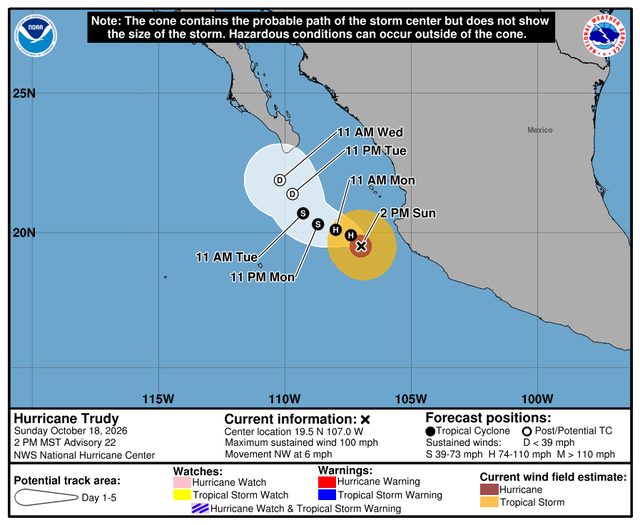
Explore the live map
Open mapPopular cities